The Central Plateau - Winter
2010
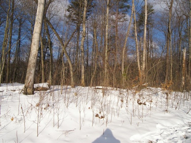
Bob went up with the contractor, surveyor, and land clearer to discuss
the building site preparation to take place in the spring.
It was such a beautiful day, he took his camera.
He was standing in the same place as when he took the previous central plateau photos.
Bob went up with the contractor, surveyor, and land clearer to discuss
the building site preparation to take place in the spring.
It was such a beautiful day, he took his camera.
He was standing in the same place as when he took the previous central plateau photos.
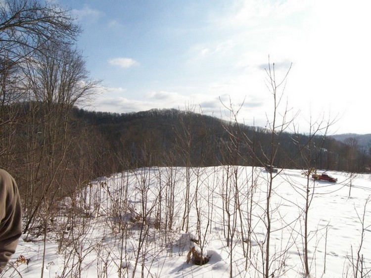
The driveway is on the left but blends in with the snowy hill. The tire tracks help you to see the driveway through the bushes and the path taken by the trucks on top.
Looking downhill, it is easier to see the lower plateau boot without the leaves on the trees. The gap between the lone tree and the forest on the right is where you saw Bob’s car in the summer photos. Zoom in through that gap to see a house on the next mountain. Other houses are in the white, snowy patches on the hills. Just beyond our property, between the white and red trucks, zoom in to see a little gray spot that is Interstate 79. Except in mid summer, we can see the vehicles go by. We are not isolated on our hill.
Look through the trees to a flat spot just left of the high mountain peak. That is the Charleston airport. The planes fly low along the ridge to the left, and across the previous photo, as they take off and land. On occasion they fly directly over us. Zoom in just right of center to see one of our hilltop neighbors.
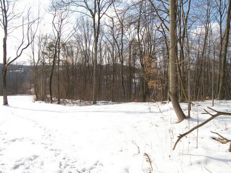
This is the area to be cleared for the building site. Without leaves, you see the surrounding mountains.
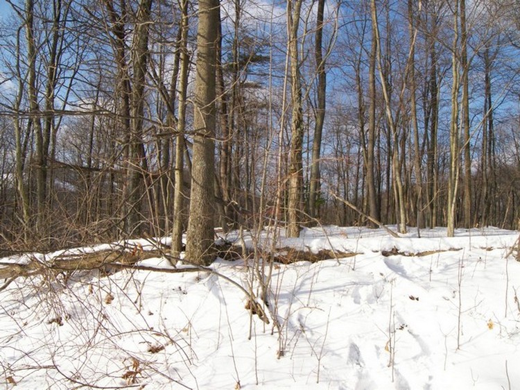
Here is more of the building site to be cleared and a view of the surrounding mountains.
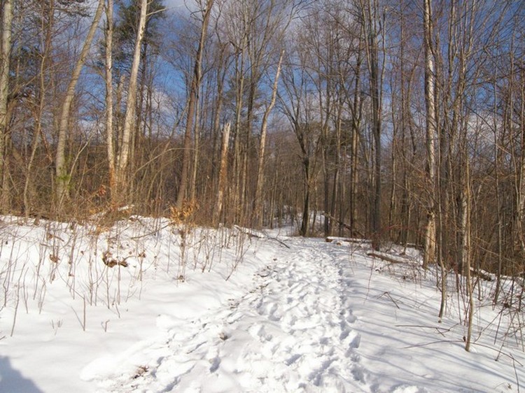
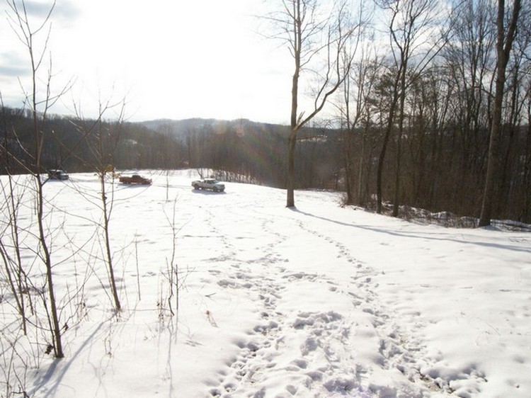
Here is your friendly farm road again. In the winter you really see the pathway it takes, twisting and turning it’s way up the mountains.
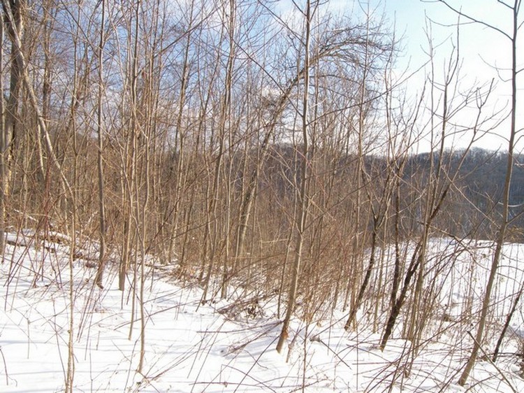
More pretty mountains and sky to see.
Go to next sequence
Return to home page