The Lower Plateau - Summer 2009
This lower plateau is at the southern most end of the property.
Bob took these photos standing in its center.
This lower plateau is at the southern most end of the property.
Bob took these photos standing in its center.
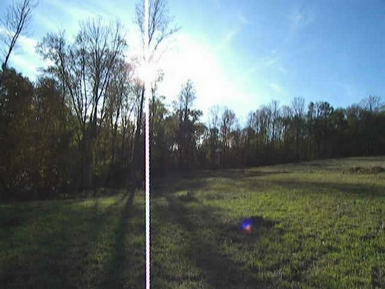
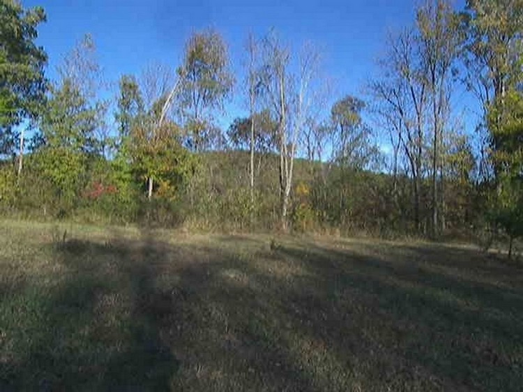
You are looking southwest, into the afternoon sun glare. Beyond the left forest is a long slope with one house at the bottom of the hill. Notice the ground rising uphill on the right side.
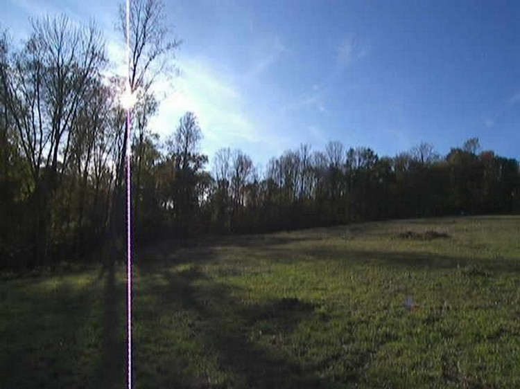
The ground continues to rise uphill as you turn to look more westerly.
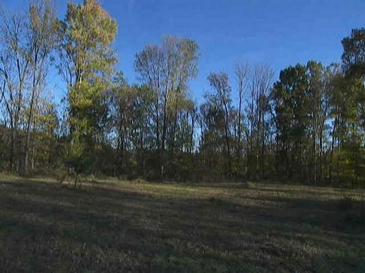
You are looking northwest, straight uphill into our backyard. About two-thirds of the way up you see a knoll that rises to our central plateau. Imagine when that field was all apple trees. Look farther up, where the field narrows then ends into a distant tree line. In those trees is the higher plateau where our house will be. The tree line on the right is uphill from the driveway you were just on.
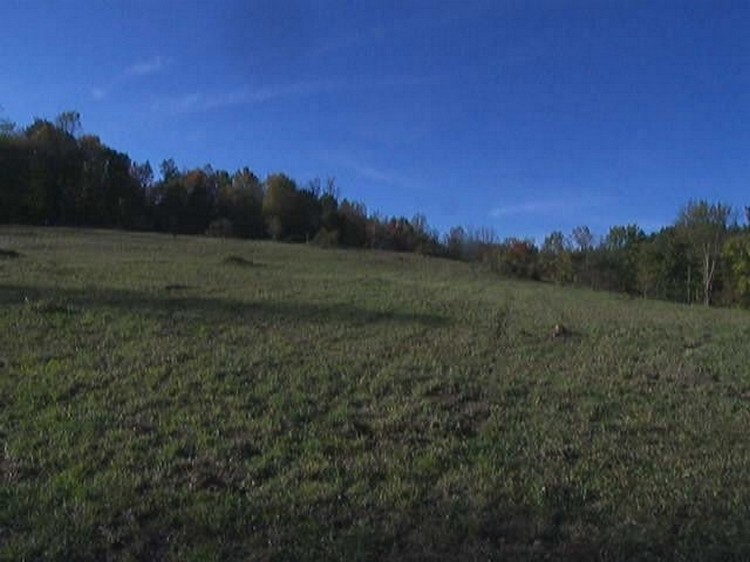
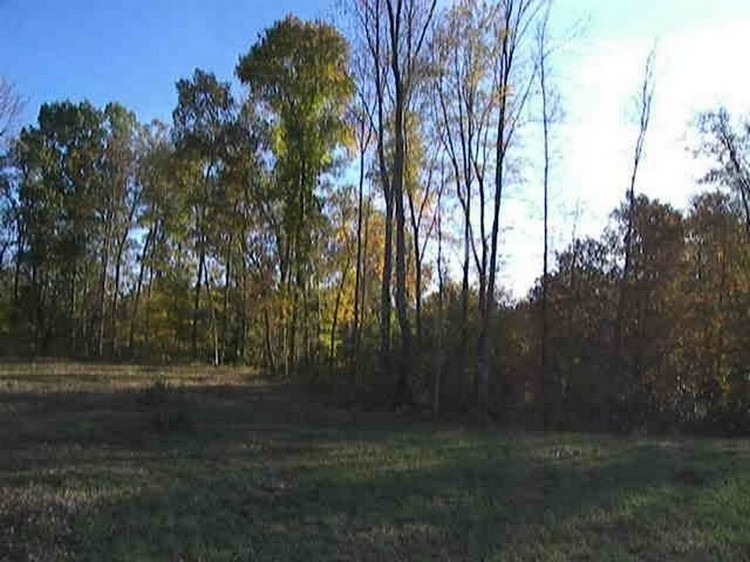
You are looking east. The land drops a few feet then slopes down to become the backyards of our neighbors along Four Mile Road.
You are looking a little more southeast, still paralleling Four Mile Road. The street sign you saw earlier for the entrance of Four Mile Road is at the bottom of this hill.
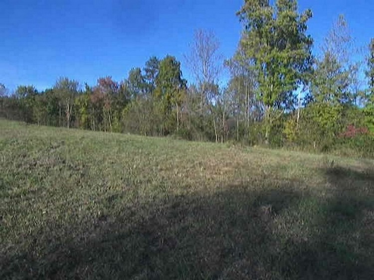
You are looking south. Downhill is an active cemetery that belongs to the family of the apple farmer. I know a couple of people who know family descendants still living in this area. This is a small town community just outside of the big city. We saw cemeteries on many properties, often not as well maintained or hidden as this one is.
Immediately beyond the trees is a steep, rocky hill that drops to a row of houses. In the farthest right corner there are several natural springs. We have someone who will drill down to a spring then install a special fire hydrant for use by the fire department in case of a fire. One of our many dreams is to someday build a picnic pavilion in the center of this plateau then put a pond in that lower corner.
Go to next sequence
Return to home page